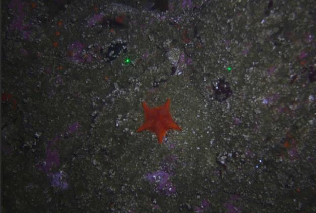
USGS video and photographs of the seabed along the California coast are now available on a public portal.
by Hannah Moore
Mar. 25, 2015—Drawing a camera across the ocean floor is sure to produce fascinating footage. Now, thanks to an online USGS portal, we can view those images from the computer.
Once at the Coastal and Marine Geology Video and Photograph Portal, it's easy. Start at the USGS Google satellite map, click any indicated red points on the ocean and the site will stream the footage or photos of that area to your computer screen instantly.
This week, USGS released thousands of photos and video of select U.S. coastlines and seafloors. This allows people to virtually venture into parts of the Pacific, Atlantic and Gulf coasts through an interactive map. Many of these areas have never been seen before.
Collecting the images has required many visits by scientists during the last 10 years.
The portal, available on the USGS website, contains video and photos of the seafloor and aerial views of the mid-Atlantic and Gulf of Mexico coasts. The LA Times reports that the data consists of about 100,000 photos and 1,000 hours of video footage. This data covers nearly 2,000 miles of the U.S. coastline.
The technology will provide coastal managers and scientists with a look at the seafloor structure and what creatures reside there. This information is plays an important role in habitat protection and observing natural hazards such as earthquakes or tsunamis.
Scientists are "learning the dynamics of the seafloor and how things have changed in the last few decades,” said Nadine Golden, a USGS geographer in Santa Cruz.
Local marine students are examining how the portal can assist them in fieldwork planning. Seeing past locations of sea creature sightings can save them time and money on research.
Additionally, researchers have been using the data. According the the LA Times, the University of California “and a nonprofit biological research collaboration in the Monterey Bay National Marine Sanctuary are planning their next fieldwork project on a specific organism using USGS imagery. By using the data to find where the animal has been seen before, they can save time and money in reduced exploration costs.”
Category:


